For a bit of background on this see my first post on this.
But, in summary, I am a participant in the automower challenge.
GPS Assisted Navigation
The Automower Connect app shows a map view under the "Geofence" tab that shows where the Automower has been, and a heat map showing areas concentrated on.
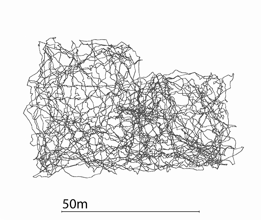
This view is rather simplistic, so I put a GPS receiver on top of the Automower for a couple of hours, and plotted the following;

As you can see it does cover pretty much the whole garden, and the next time it goes out, it takes a different route, covering the bits it missed last time.
Husqvarna explains that this method (although it appears random) actually results in a more evenly cut lawn, and I'd be inclined to believe them.
Full disclosure: I am participating in a competition that means, in exchange for reviewing these, I do receive a free unit. It does not, however, mean that I'm biased. I will be posting my experience of this little robotic critter over the coming months.